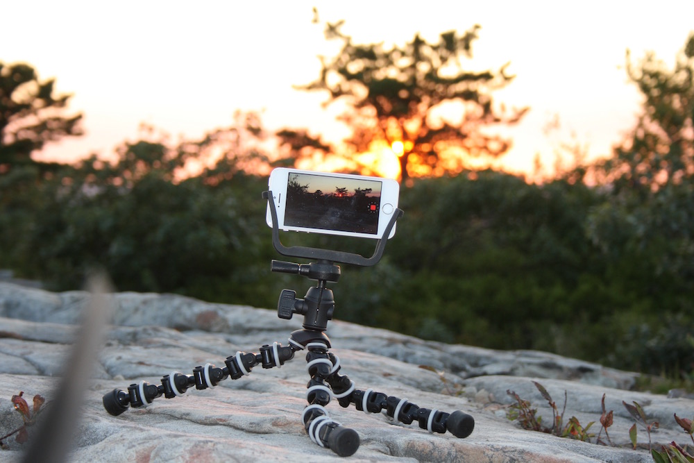
Yesterday fellow UAV pilot Jonathan Edwards and I hiked to the "top of the world" at the Dunmore Pine Barrens to get some exercise, see the sights, and fly a little.
I decided to hike this area because of local hiker, writer and blogger Jeff Mitchell’s blog post wherein he details the hike. He provides specific detail for parking and getting to the top which undoubtedly saved us a few minutes of spinning in circles. Here is a snippet of his post:
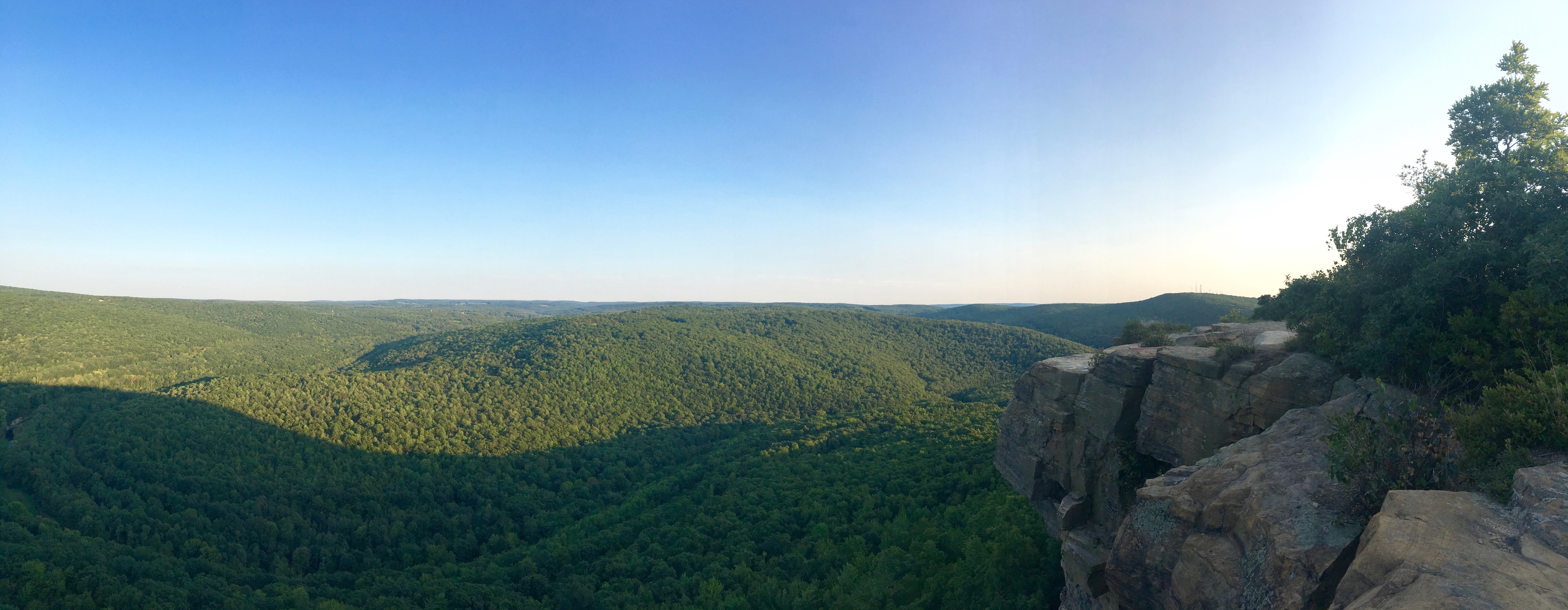
According to Google Earth, this place is called High Rocks. Layers of mist and slow moving clouds hung in the valleys below. The tops of the plateaus rose just above the mist. The sunrise cast the cliff in hues of amber and orange. I could see for about 20 miles across the Pocono plateau.
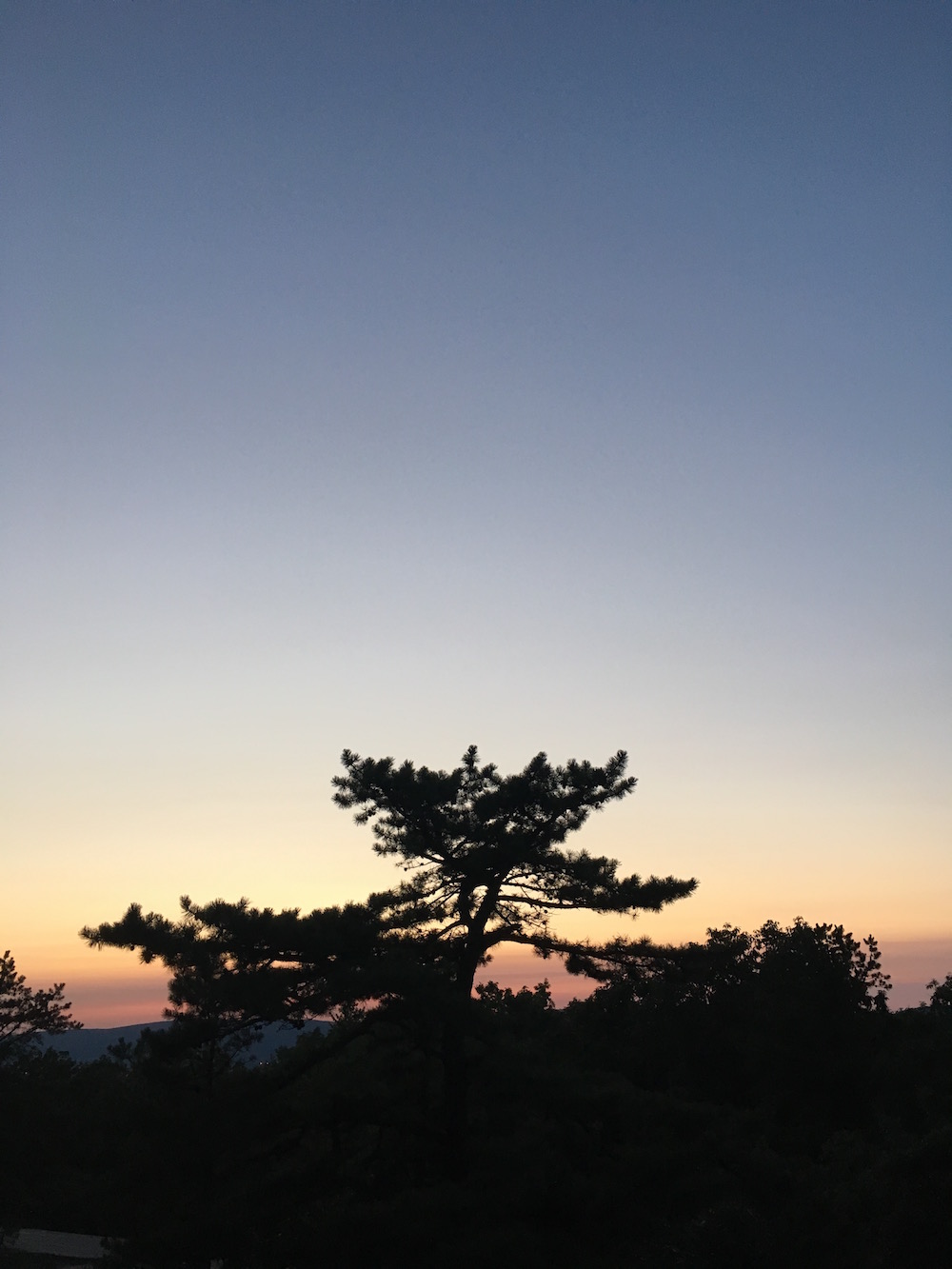
Mitchell hiked in the wee hours of the morning to catch first light or dawn time. Jon and I left the lot at around 4:30pm or so and hung out at the top until just after the sun dipped below the far horizon. My guess is that dawn is a completely difference experience on that ridge so I expect to give it another go in the future.
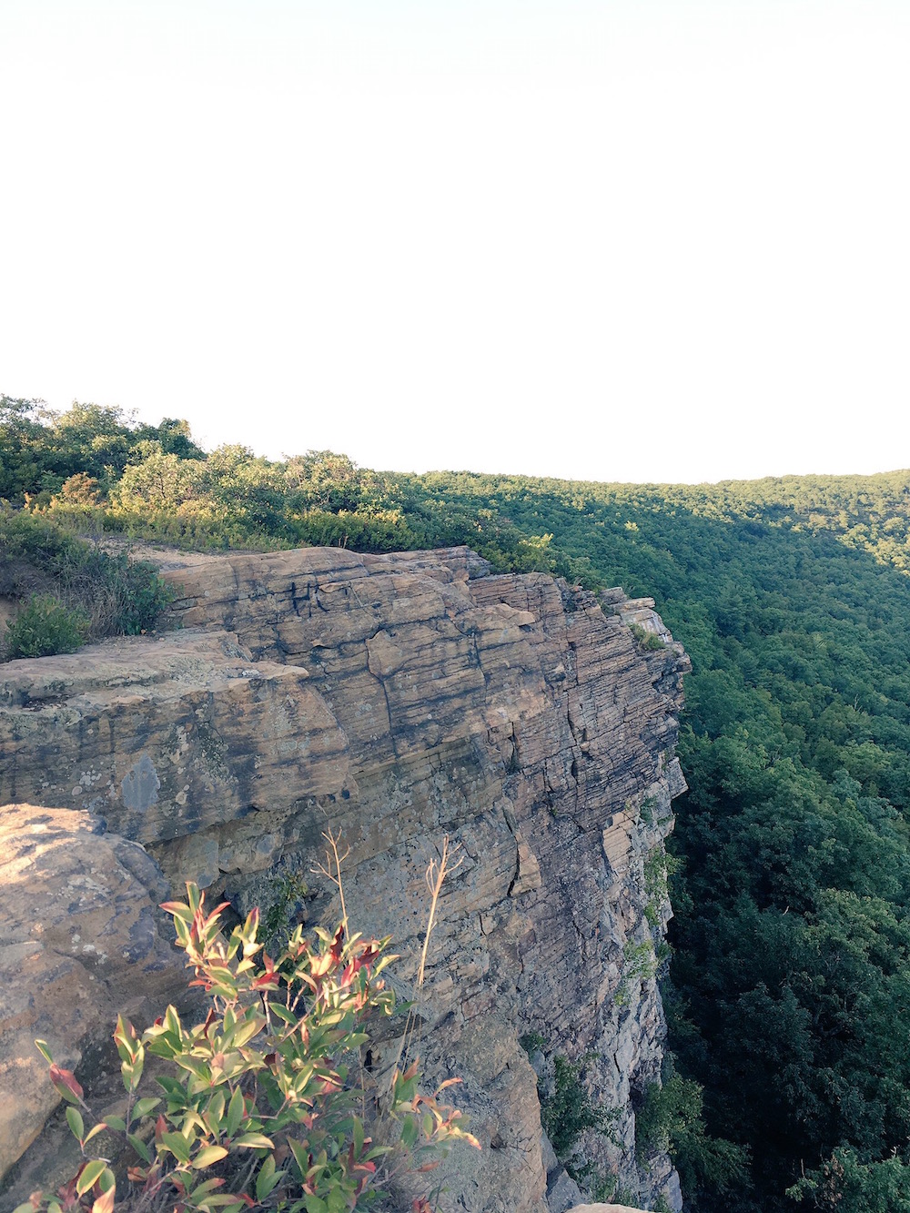
Yesterday’s weather was perfect for a hike. The round trip was about 6.2 miles (according to my iPhone) and I would say that just about anyone could make the trek. Just be very careful on the cliff.